Day: 2 (13th January 2025) 15km+
We rose early.
Just us, surrounded by grazing Kangaroos.
A truly peaceful time of day.
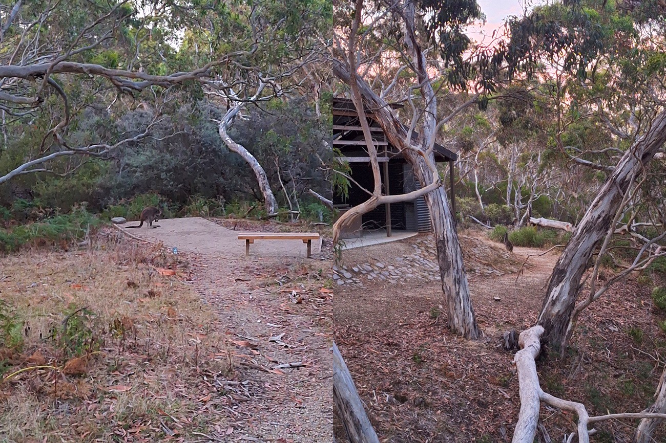
We were applying the same strategy as on our first day on trail. Rise and get underway early to avoid the heat later in the day, and given how calm and pleasant it was right now, we felt vindicated.
We’d also learned that forcing ourselves to eat before getting underway only serves to make the going a bit tough, so we settled for hot drink whilst we broke down camp, and then got underway, the trail immediately heading uphill from camp.
The time was almost 07:00 am, on the dot.
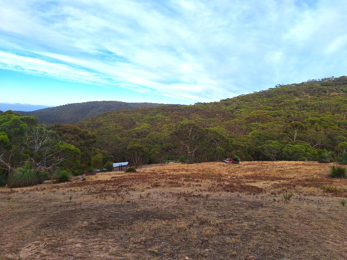
Atop the ridge, we were able to gaze down on the camp below, our camp companions (although we’d only talked to two of them), still all tucked away in bed.
It was a nice spot, and one of the most well appointed sites at which we’d ever stayed in our admittedly fledgling hiking experience.
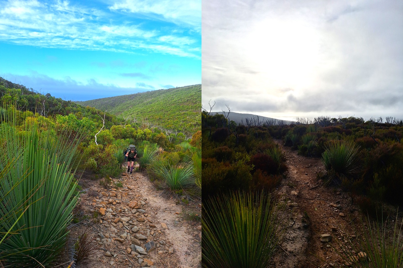
For about a kilometre and a half, our trail was a rocky 4WD trail, just us and the odd Kangaroo or two, who were quick to bound into the scrub when our approach got too close.
We were kind of straddling a ridgeline, with occasional views, but for the most part, the only direction in which we had a clear view, was the road ahead.
Eventually we left the road.
A hard right taking us back onto a more hiker friendly trail, towards the rising sun, and gently, at least initially, on a downward slope.
The amount of cobwebs we cleared (with our face) during this section, proof that we were the first to pass this way for the day.
It was also lovely to see so many Grass Trees to start the day (google tells me their ‘proper’ name is Xanthorrhoea, but I’m never going to remember that, so Grass Trees it is).
A steep descent into one of the gullies saw the trail cross a small creek (I think it may have actually been Tent Rock Creek). Minimal (zero) water made the crossing a breeze, although we did need to bash our way through some long grass and reeds as we rock hopped our way through.
Having gone down, we now had to go up, which was a great way to warm us up, and by the time we neared the top (where a perfectly placed bench provided a great breakfast stop), most of the cloud in the sky had broken, and it was now blue sky and bright sun.
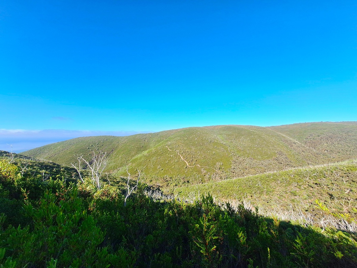
After basking in the Sun whilst consuming breakfast, it was time to continue on, and not far after topping the rise, the trail had us following a fence (a classic hikers follow fence situation), however I’m not convinced we didn’t one point lose the trail, only for it to again intersect with the line we’d chosen.
The well worn nature of the earth underfoot, supporting my feeling that many others had likely lost the way through the forest of Grass Trees as well…
We were soon back amongst a substantial (at least in relation to the tree height), forested section, until we finally emerged on a gravel road.
This was the entrance to Trig Campground (not where we were stopping).
Okay, so that’s not completely accurate. We did stop here, even chatted with a Parks SA ranger, and chewed through a couple of Natural Confectionary Co. lollies, before heading on our way.
With that little sugar hit, we were flying (okay, so the relatively flat trail helped as well).
A little ways down the trail we met another Parks SA employee, this one performing a bit of trail maintenance with handsaw and chain saw in hand.
Before long, we found further sign of human influence in the trail, in the form of a steep, and staggered series of concrete stairs, complete with hand rails and all.
Three levels of stair took a huge chunk off our decent, and before long, we were crossing the rather paltry flow of Deep Creek and faced with a trail junction.
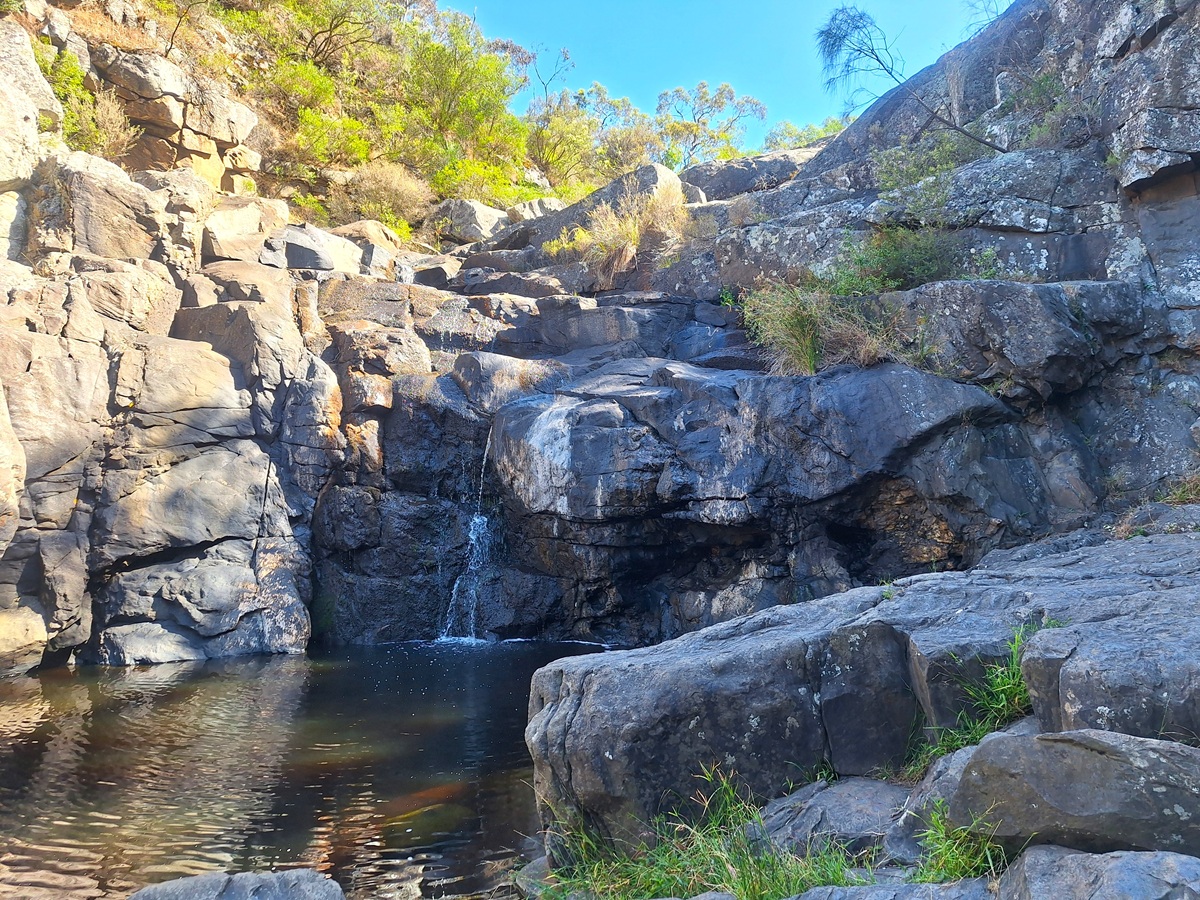
We dropped our packs here, and made the brief walk upstream to the Deep Creek Falls themselves.
Given how dry and barren it had been everywhere else, it was quite the surprise to find a cold, deep pool, and even a little flow over the rocks from the falls themselves.
A lovely spot for a breather!
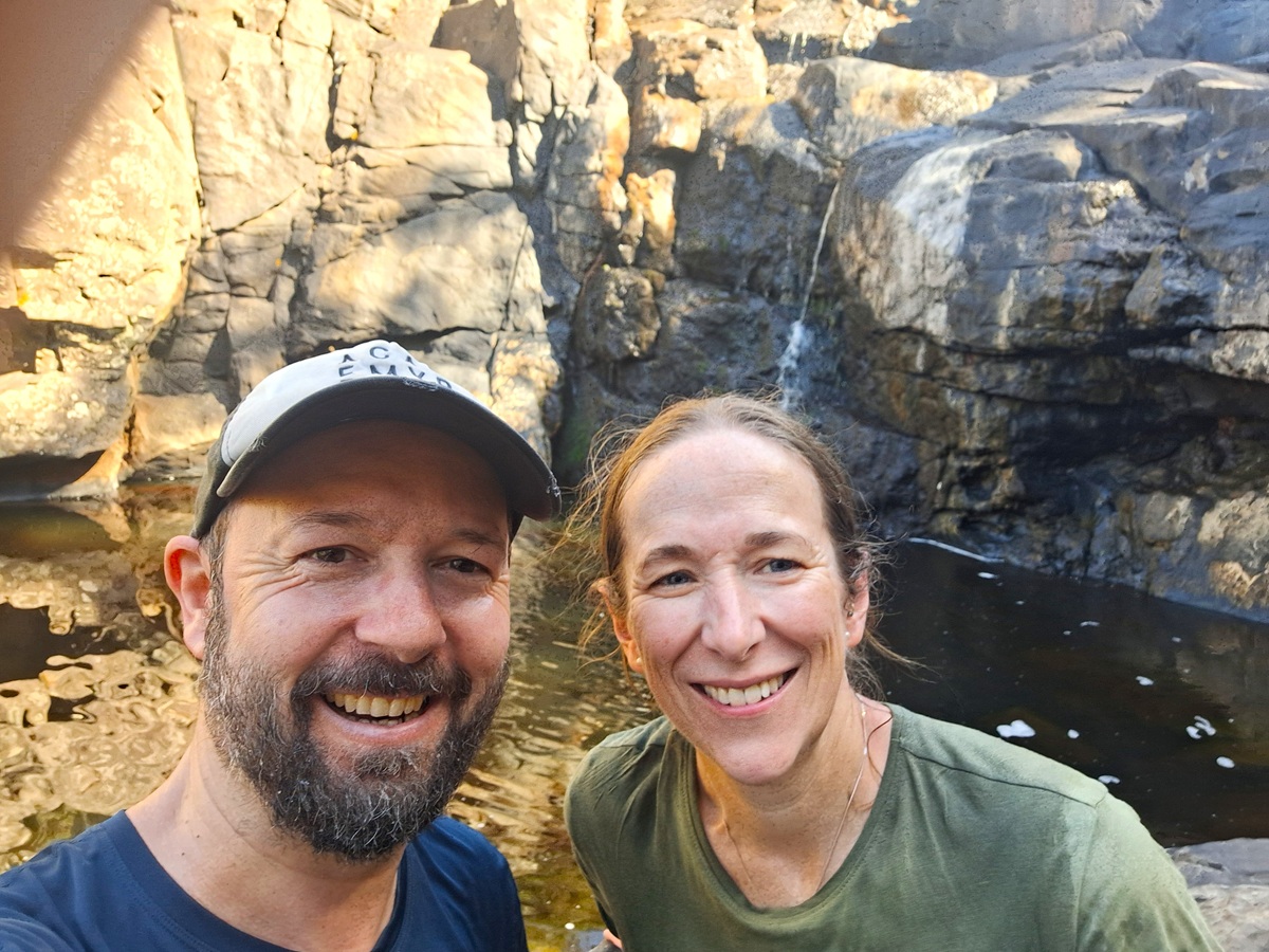
We had the absolute crap scared out of us, when suddenly two guys appeared atop the falls themselves.
Scaring us wasn’t their intent. We simply hadn’t expected to see anybody here!
Refreshed from a lovely stop, the journey onward was a pleasant one, as this was a really nice stretch of track.
Some lovely wooded sections, following by nice sea views as the trail began to climb once more.
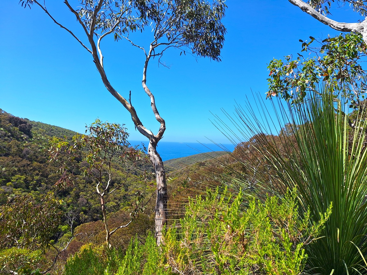
We spent a little time admiring a local Shingleback lizard, but he was more than happy to slink into the bush once he became aware of our stares, so we continued our way upwards.
Finally, the surrounding scrub thinned, and the trail joined with the Deep Creek Circuit Hike, before emerging at the end of a dirt road.
The open area before us continued to rise, giving us probably our clearest views up and down the coast since we start this adventure.
This was the Tapanappa Lookout.
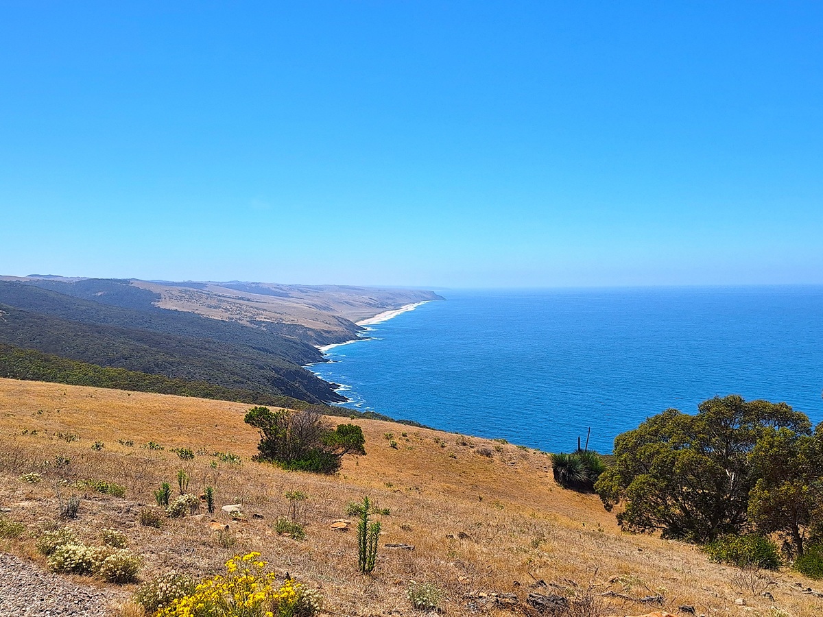
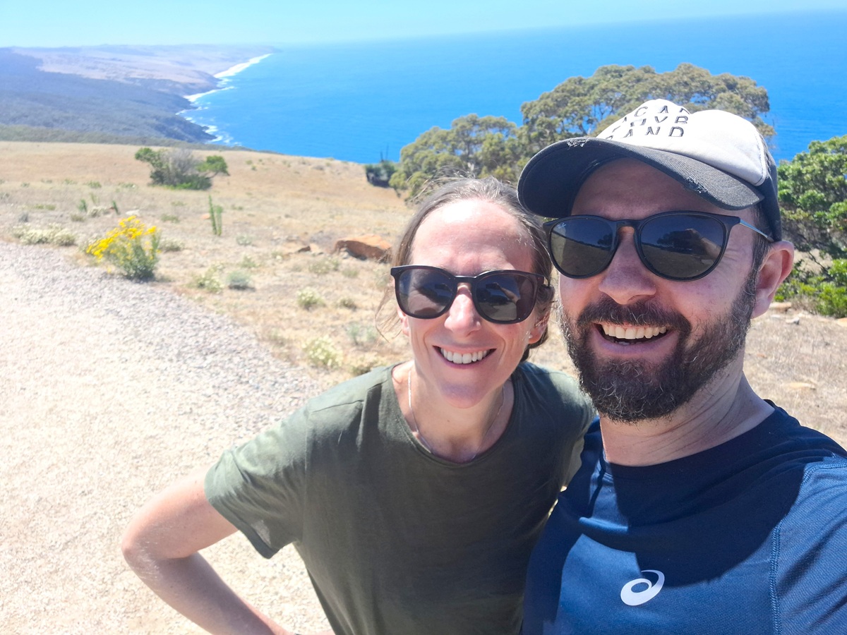
From the lookout, only a couple of kilometres remained in our hiking day, which was not such a bad outcome as by now, with the cloud parted, the South Australian summer Sun was really packing a punch.
That being said, despite being so close to our days hiking end, those last two thousand metres seemed to take a good while, not helped by the fact that the trail seemed to snake unecessarily!
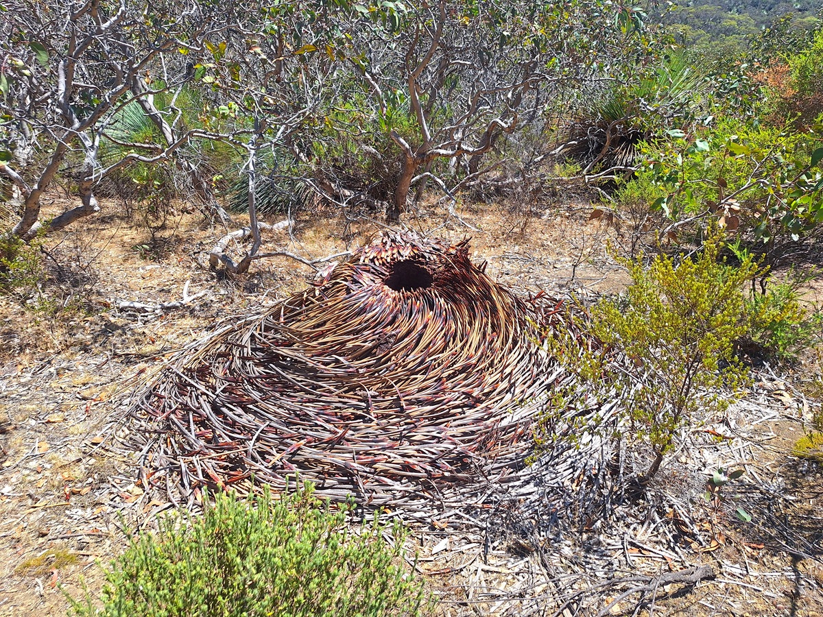
At times, the path even got a little sandy, and the trees slowly got bigger, until an area opened between the large copse of Stringybark Eucalyptus, and we were there.
We’d made it to Yapari Ngawanthi / Cliffs campground.
The cliffs name suggested we must have been perched on the crest of a rise, but whether the pure view or impression of being on a clifftop was spoiled by the vegetation, or whether it was a misnomer, was never made clear…
Our hiking for the day completed, and it was only 12:30 in the afternoon!
The was whiled away with lunch, a bit of reading and plenty of lounging around!
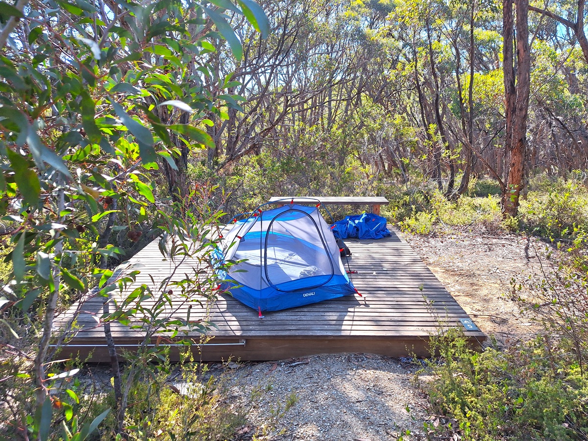
Over the course of the afternoon, both pairs we’d encountered at Eagle Waterhole Campground wandered in to camp, so it was the same sextet from the previous night.
Mother and son duo, Maddy and AJ, as well as the pair who’d barely said a word the night before, AJ and Steph (turns out the previous evening they were simply exhausted, rather than anti social).
At one end of the camp stood a viewing platform, but by the time the heat of the day abated, the clouds had rolled in, so the views from the ‘cliffs’ to the sea were somewhat disappointing.
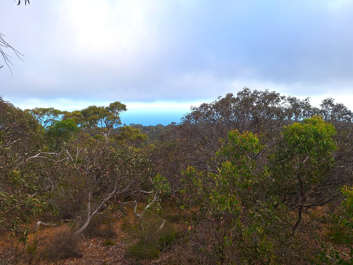
Still, it was another satisfying, if shorter day than we’d initially anticipated!
Read about Day 1 of our Wild South Coast Way Adventure HERE
Continue to Day 3 of our Wild South Coast Way Adventure HERE
* Our campsite at Yapari Ngawanthi (Cliffs campground) cost us $30.40, booked via Parks SA
* Our Personal Locator Beacon hire from Macpac, cost us $45 for 7 days (we didn’t require it for the full 7 days)
 theworldwithchrisandsarah